Severe weather isn’t out of the ordinary for Tampa Bay. This page collects information from various sources to provide a “situational awareness” into the current weather conditions.
SKYWARN®
The purpose of the SKYWARN® program in Pinellas County Florida is to provide the National Weather Service (NWS) Forecast Office at Tampa Bay with timely and accurate reports of severe weather phenomena so that a timely warning can be issued to the public of dangerous weather conditions that include tornadoes, hail, flooding, and damaging thunderstorm winds.
Detailed information about SKYWARN® operations in Pinellas County can be found in the Pinellas County ACS/ARES® SKYWARN® Operations Plan and Standard Operating Procedures document.
Current Pinellas County Severe Weather Alerts
Coastal Flood Statement issued November 20 at 2:13PM EST until November 20 at 7:00PM EST by NWS Tampa Bay Ruskin FL
from NWS
from NWS
* WHAT...For the Coastal Flood Statement, isolated minor coastal
flooding. For the High Rip Current Risk, dangerous rip
currents expected.
* WHERE...Pinellas, Coastal Hillsborough, Coastal Manatee,
Coastal Sarasota, Coastal Charlotte and Coastal Lee Counties.
* WHEN...For the High Rip Current Risk, through Friday evening.
For the Coastal Flood Statement, until 7 PM EST this evening.
* IMPACTS...Some [...]
Wed, Nov 20, 2024, Continue reading at the source
Rip Current Statement issued November 20 at 2:13PM EST until November 22 at 7:00PM EST by NWS Tampa Bay Ruskin FL
from NWS
from NWS
* WHAT...For the Coastal Flood Statement, isolated minor coastal
flooding. For the High Rip Current Risk, dangerous rip
currents expected.
* WHERE...Pinellas, Coastal Hillsborough, Coastal Manatee,
Coastal Sarasota, Coastal Charlotte and Coastal Lee Counties.
* WHEN...For the High Rip Current Risk, through Friday evening.
For the Coastal Flood Statement, until 7 PM EST this evening.
* IMPACTS...Some [...]
Wed, Nov 20, 2024, Continue reading at the source
Coastal Flood Statement issued November 20 at 7:07AM EST until November 20 at 7:00PM EST by NWS Tampa Bay Ruskin FL
from NWS
from NWS
* WHAT...For the Coastal Flood Statement, isolated minor coastal
flooding. For the High Rip Current Risk, dangerous rip
currents expected.
* WHERE...Pinellas, Coastal Hillsborough, Coastal Manatee,
Coastal Sarasota, Coastal Charlotte and Coastal Lee Counties.
* WHEN...For the Coastal Flood Statement, until 7 PM EST this
evening. For the High Rip Current Risk, from 1 PM EST [...]
Wed, Nov 20, 2024, Continue reading at the source
Rip Current Statement issued November 20 at 7:07AM EST until November 21 at 7:00PM EST by NWS Tampa Bay Ruskin FL
from NWS
from NWS
* WHAT...For the Coastal Flood Statement, isolated minor coastal
flooding. For the High Rip Current Risk, dangerous rip
currents expected.
* WHERE...Pinellas, Coastal Hillsborough, Coastal Manatee,
Coastal Sarasota, Coastal Charlotte and Coastal Lee Counties.
* WHEN...For the Coastal Flood Statement, until 7 PM EST this
evening. For the High Rip Current Risk, from 1 PM EST [...]
Wed, Nov 20, 2024, Continue reading at the source
Rip Current Statement issued November 19 at 1:53PM EST until November 21 at 7:00PM EST by NWS Tampa Bay Ruskin FL
from NWS
from NWS
* WHAT...Dangerous rip currents expected.
* WHERE...Pinellas, Coastal Hillsborough, Coastal Manatee,
Coastal Sarasota, Coastal Charlotte and Coastal Lee Counties.
* WHEN...From Wednesday afternoon through Thursday evening.
* IMPACTS...Rip currents can sweep even the best swimmers away
from shore into deeper water. [...]
Tue, Nov 19, 2024, Continue reading at the source
Please be sure to check the NWS Tampa Bay Graphical Hazardous Weather Outlook daily. It’s an extremely useful to check daily. It presents a graphical view of likelihood of various types of severe weather. If you have a weather radio, Pinellas is covered by two transmitters and Pinellas has a “Specific Area Message Encoding” (SAME code) of 012103.
- Largo Marine – 162.450 MHz
- Tampa Bay – 162.550 MHz
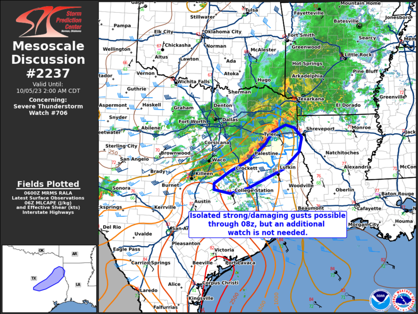
National Weather Service Storm Prediction Center’s Latest Content

Wed, Nov 20, 2024, Continue reading at the source

Wed, Nov 20, 2024, Continue reading at the source

Wed, Nov 20, 2024, Continue reading at the source

Wed, Nov 20, 2024, Continue reading at the source

Wed, Nov 20, 2024, Continue reading at the source
Wed, Nov 20, 2024, Continue reading at the source
Tue, Nov 19, 2024, Continue reading at the source

Mon, Nov 18, 2024, Continue reading at the source

Mon, Nov 18, 2024, Continue reading at the source

Mon, Nov 18, 2024, Continue reading at the source
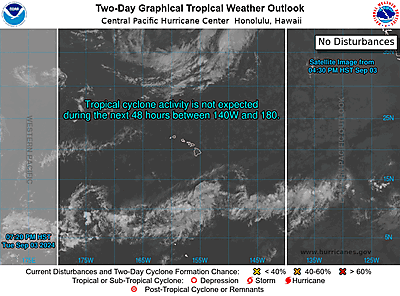
National Hurricane Center’s Tropical Weather Outlook

Wed, Nov 20, 2024, Continue reading at the source

Mon, Nov 18, 2024, Continue reading at the source
Sat, Nov 16, 2024, Continue reading at the source
Useful links
